Walking or running
Keep distance and elapsed time in view while you record the trip.
 My LocationAndroid
Get your current coordinates, save a place you’ll need again and record a walk, ride or hike with an activity display suited to the trip.
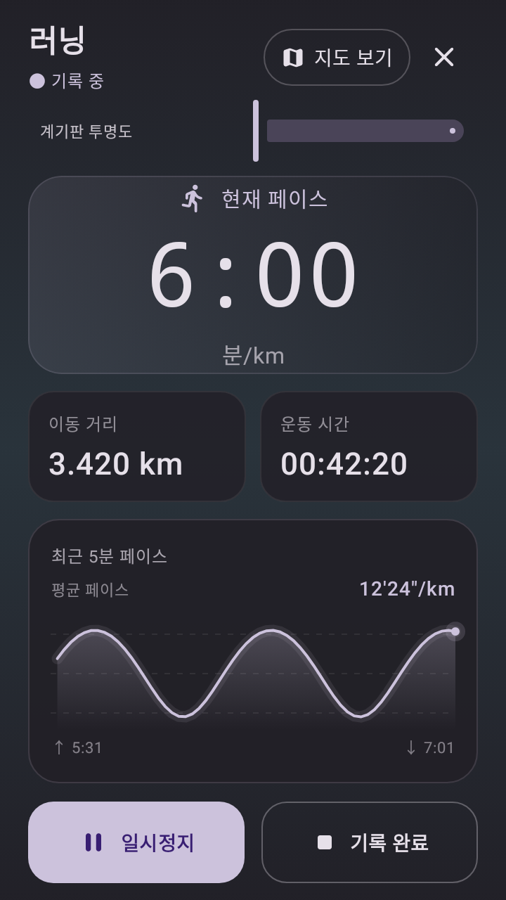
Keep distance and elapsed time in view while you record the trip.
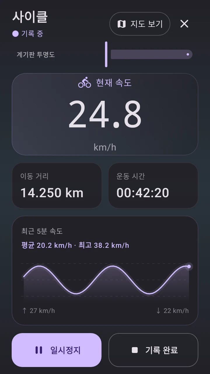
Use the dedicated speed display to see current speed, distance and the recent speed trend.
Use the hiking view to pay attention to elevation and keep a record of the path you covered.
Mark a meeting spot or the trailhead. In the latest development build the map can show a saved place’s straight-line distance and bearing as you move.
Save the area while you have a connection. When reception drops, reopen the area you downloaded and continue to use available GPS readings.
Start an activity to keep a track, then revisit the recorded path after you finish. To tell someone where you are now, share your current coordinates.
The saved-place indicator in the development build shows straight-line distance and direction. Follow available trails, roads and signs for your actual route.
Previously downloaded coverage can be used offline. Download the area in advance and allow location access for GPS readings.
Position quality depends on your device, surroundings and reception. Buildings, indoor spaces and weak GPS can affect the reading.
Android may ask to allow continued location access while you are deliberately recording an activity. Check the notification and stop recording when you finish.